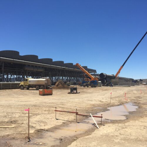
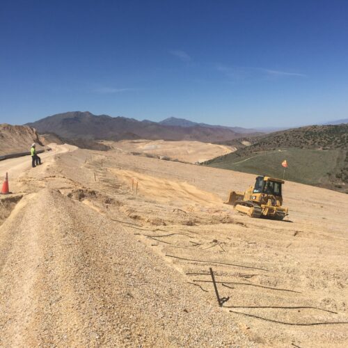
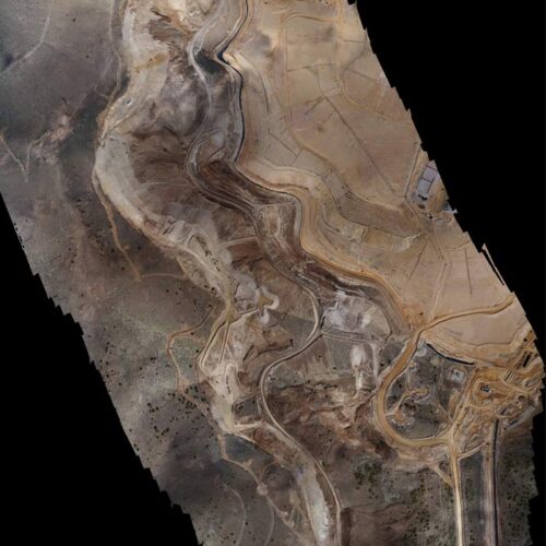
Battle Born Ventures was contracted by a mining company based out of Fernley, Nevada to provide professional surveying services associated with a large aerial mapping and photogrammetry project at the southern end of the Humboldt mountain range, Pershing County, Nevada. Battle Born Ventures’ surveying services included establishing a horizontal (NAD 83/94, State Plane Grid, Nevada West Zone) and vertical (NAVD 88) control network at the mine site, constructing aerial targets (panels) at locations specified by the aerial mapping company, and transmitting the survey data for each target in electronic format. The work involved office calculations, field surveying, and project coordination.